Trail On foot The Municipal District of Wicklow - Slí na Sláinte - Photo

Tous les sentiers balisés d’Europe GUIDE+

© OpenStreetMap contributors
Length
Length
7.1 km
Max alt
Max alt
226 m
Uphill gradient
Uphill gradient
51 m
Km-Effort
Km-Effort  
7.8 km
Min alt
Min alt
205 m
Downhill gradient
Downhill gradient
53 m
Boucle
Boucle
Yes
Signpost
Signpost
Creation date :
2025-02-06 12:31:25.842
Updated on :
2025-02-06 12:31:25.842

(0 Reviews)

On foot
On foot
1h46
Difficulty : Easy

Scan this QR Code to open this trail in the SityTrail application

FREE GPS app for hiking

Logo SityTrail SityTrail

IGN / Geographical institutes

Download SityTrail from the App Store Download SityTrail from Google Play

Logo SityTrail SityTrail Plus

The world is yours!

Download SityTrail from the App Store Download SityTrail from Google Play Download SityTrail on Huawei AppGallery

About

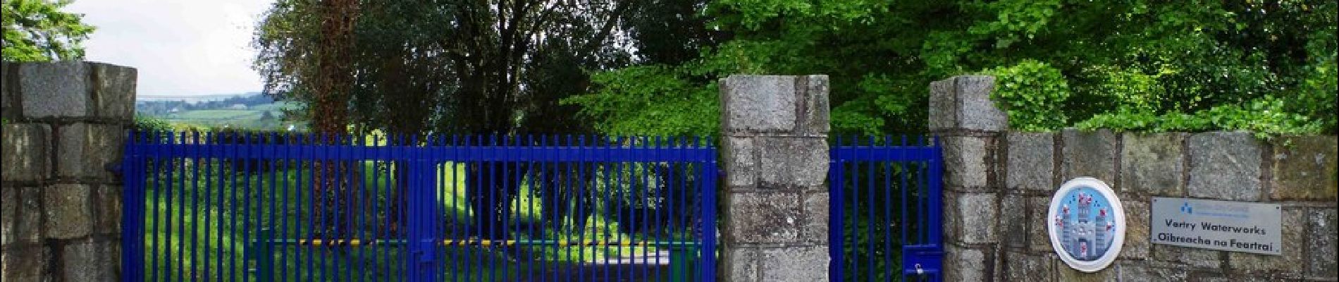
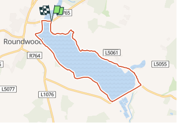
Trail On foot of 7.1 km to be discovered at Unknown, County Wicklow, The Municipal District of Wicklow. This trail is proposed by SityTrail - itinéraires balisés pédestres.

Description

Trail created by Slí na Sláinte - Irish Heart Foundation.

Symbol: Sli_square

Elevation profile

Photos

Positioning

Country:
Ireland
Region :
Unknown
Department/Province :
County Wicklow
Municipality :
The Municipal District of Wicklow
Location:
Altidore
Start:(UTM)
686615 ; 5883427 (29U) N.


Close
My subscriptions